What Does A Land Surveyor Do? | Lambert Locations
Chances are you have wondered at some stage exactly what a land surveyor is doing on the side of the road, peering through a device mounted on a tripod.
Land surveyors play a key role in everything from boundary disputes to construction and mining projects, and yet few people know quite what the job involves.
Here we take a look at what a land surveyor does, how their role fits with other professionals in a wide range of industries and the added value they bring.
What Does a Land Surveyor Do?
A land surveyor maps land and the features on it. The scale of the land mapping and the type of features that are mapped vary depending on the project the land surveyor is engaged in.
Mapping can take place on land, underground or under the sea. If a land mapping is being completed, this may also include mapping subterranean features such as watercourses, utility pipes, tunnels or similar.
Land surveying varies in scale from hundreds (or even thousands) of miles of mapping through to just a few metres that require accurate mapping before development can be carried out.
Features that a land surveyor might quantify and record include:
- Topographical features (slopes or gradients, hills, mountains or gullies, for example)
- Waterways
- Vegetation
- Buildings
- Boundary fences
- Roads, pathways or tracks
- Infrastructure such as railway lines
- Different types of land use (agricultural, light industry etc)
- Land features such as swamps, sand dunes, cliffs
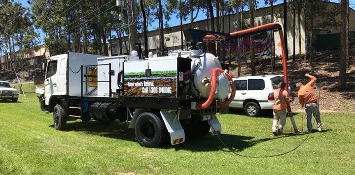
- Utility pipes
- Subterranean features
- Underwater features, such as a spit, sandbank, position of a wreck, position of coral reefs
The level of detail each of these features is given depends on the scale of the mapping job.
For example, if a small in-fill development is planned in an urban area, a land surveyor will map the surrounding buildings in considerable detail, noting the position and measurements of features such as windows, doors, eaves and access routes.
This level of detail is needed to inform the design of the new development and ensure it complies with relevant planning guidance.
How Does A Land Surveyor Carry Out Their Work?
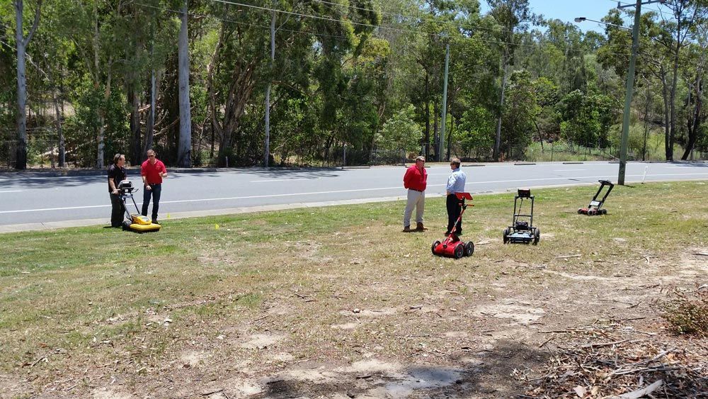
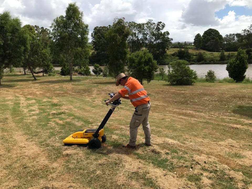
Land surveying is a very practical job. These professionals spend a considerable amount of their working day on-site, recording information and measurements.
Much of the manual labour that used to be part of a land surveyor’s job has been replaced by modern technology. Surveyors use tools such as:
- Theodolites (Robotic Total Stations)
- Photographs
- Terrestrial and aerial scanning
- Levels and tapes
Once the relevant measurements have been recorded, they’re used to create detailed plans (maps) of the area under consideration.
This frequently involves using auto-cad software to create high-quality maps that provide a high level of accuracy and detail.
The scale, degree of detail and features recorded largely depends on the needs of the project.
What is The Mapping Land Surveyors Complete Used For?
Land surveyors provide high-grade information on the land under consideration for a particular project. The type of projects informed by land surveys include:
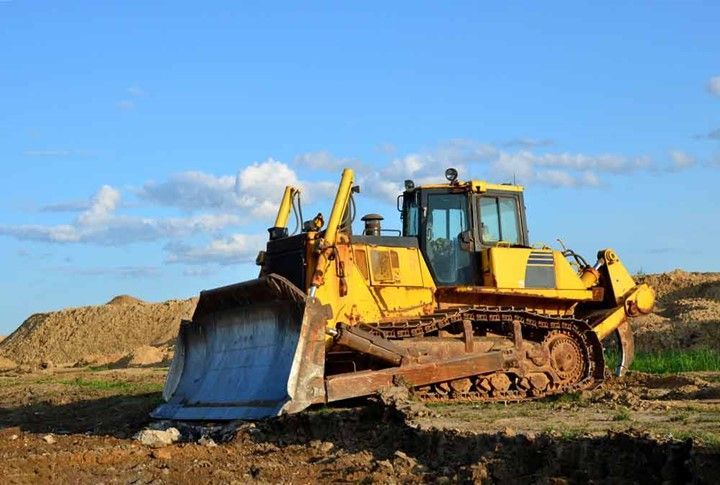
- Geological projects (mining, prospecting etc).
- Construction projects
- Infrastructure and other civil engineering projects
- Underwater infrastructure
- Boundary delineation
- Strategists involved in deciding planning zones and land use
The work that land surveyors carry out commonly supports the work of other professionals such as:
- Planners
- Developers
- Construction professionals
- Architects
- Engineers
- Geologists
Land Surveying Specialisation
Depending on the needs of your projects, it’s possible to engage the services of a specialist land surveyor. One of the most common specialisms is surveying property boundaries (cadastral land surveying).
Accurate boundary mapping is important for everything from taxation purposes through to land ownership disputes, planning consents and more.
In a surprising number of cases, boundary fences aren’t accurately placed. In these circumstances, the work of a cadastral land surveyor can help to provide clarity on where the true boundary lies.
Other land surveyors specialise in mapping subterranean structures, mapping the urban (or rural) landscape or mapping underwater features.
Why Is Land Surveying Important?
Both rural and urban landscapes are environments that are continuously evolving. To plan new projects effectively, it’s essential to have up-to-date information on the landscape under consideration.
The job of the land surveyor is to provide that information, tailoring the detail to fit the project. Armed with accurate information, project developers can make informed decisions about everything from the viability of the project to working out how best to ensure it’s successfully implemented in the best way possible.
The role of the land surveyor may be ongoing, particularly on longer projects, or those with variables that can be affected by weather-dependent variables (such as the degree of soil saturation, erosion or bush fires).
Land surveyors perform an essential role in a wide range of projects. If you suspect that you may need professional land surveying on the Gold Coast for your upcoming project, you can get in touch with the team at Lambert Locations to discuss your specific needs.